


Overview
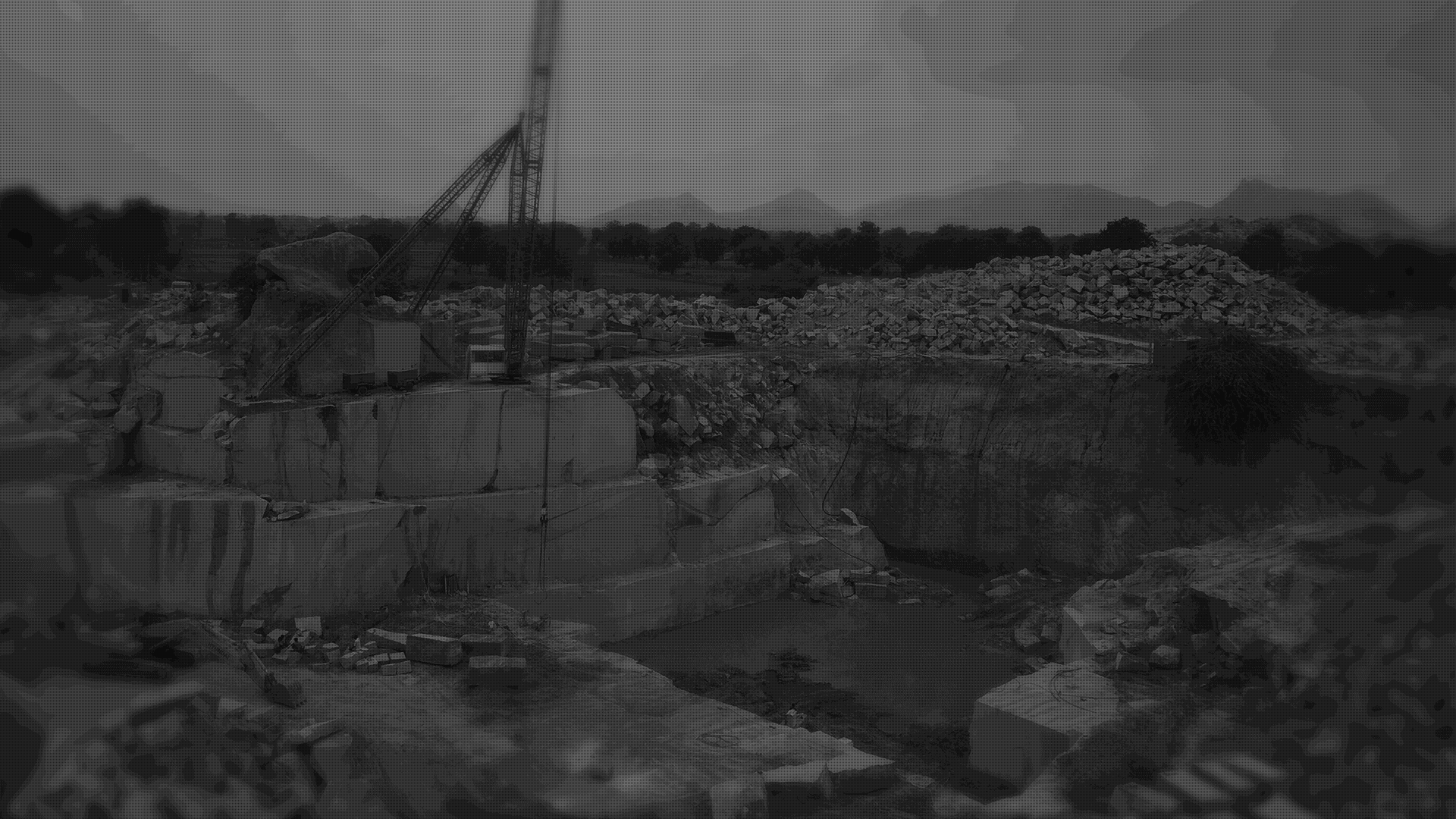
The main aim of GeoMine application is to enable the official Department of Mines and Geology to regulate and ensure compliance and perform Inspection with proper Enforcement of all the mining activities through digital mode.
As of today, all the field activities’ department are managed and processed manually by the Directorate, fellow geologists and field officers. Therefore, there are delays and high chances of duplication in the processing of apps that sometimes get processed in varied offices. With the high demand from Government to digitalize the regular work and due to the lack of the availability of resources, there are chances of mistakes.
Moreover, there is no actual time information as to where entire staff/field officers are located on a given working day. Because of these reasons, here, we have developed a very unique and powerful mobile & cloud based software solution. GeoMine allows the Geology & Mining Department to regulate the monitoring mechanism through Smartphone Devices and modern web-browsers on Desktop computers.

Sensor Technology at its best use
GeoMine primarily uses three major sensors on your modern smartphone
Internet
We seek to use the power of the Internet to bring the field staff and back office admin staff closer and eliminate the gap of communication and duplication of work. Inside GeoMine we use Internet / 3G Data feature which acts as a sensor to transmit the data to the central server.
GPS
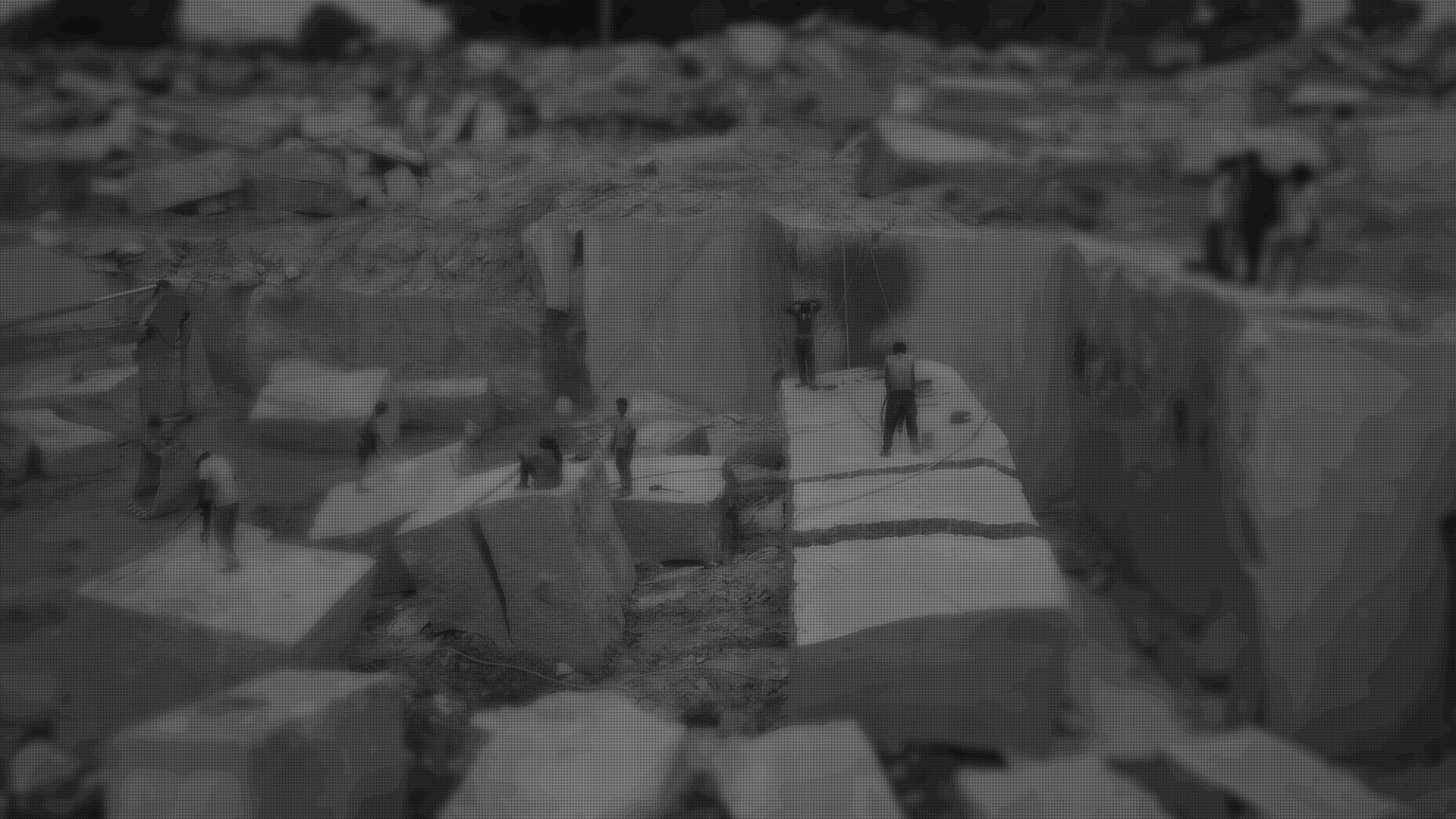
The actual Global Positioning System (GPS) Location of the person is recorded, while he is performing his field-reporting task. It also allows the system to capture the actual location including the latitude and longitude, ensuring that the officer actually visited the site / location and the duties were actually performed on site and not just on paper.
Camera
Its a famous saying, “A picture is worth a thousand words” Using Camera as a sensor on smartphones, officers can capture the photographs of the actual site that they had visited. Photos or spot inspection photos, which becomes a part of their inspection reports, gives a real and meaningful view of the report.
Centralize Data
With just a smartphone and GeoMine Mobile App, your inspectors have the tools to schedule, complete and follow up on inspections…
Why GeoMine
GeoMine is designed by inputs from several Senior Active Field Inspectors, Fellow Geologies, IAS Officers, Financial Heads of Mining department and...
Project Deliverables
We provide our services and solution as “Software as a service” business model, so once you sign up with us we shall give you your secured admin panel…
Modules of GeoMine
Below is the high level list of modules that are bundled inside GeoMine, our technical teams keep on updating these modules round the year.
- Field Inspection
- Notification System
- GPS Based Attendance System
- Spot Inspections
- Lease Masters & Lease Inspections
- MIS System
- Dynamic User Role & Hierarchy based reporting
- Printing of various forms & reports
- Data Export In Excel Sheet

Our Clients
